Address:
802 Amherst St, Manchester NH 03104 | Email:
joewichert@jmwlls.com
Call: 603-647-4282
SERVICES
LAND SURVEYOR SERVICES FROM MANCHESTER, NEW HAMPSHIRE
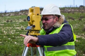
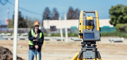
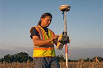
For over 25 years, we have completed many different types of surveys all over the state of New Hampshire. Fieldwork is completed using our new Topcon GT-503 Robotic Total Station. We also have our own Topcon Hyper V Dual Frequency GPS receivers that are capable of both Real Time Kinematic (RTK) and conventional GPS work. Our field crews use Topcon, Carlson or TDS data collectors to improve efficiency and accuracy. In the office we use Carlson 2017 and Autodesk software and can provide you with an electronic or hard copies of our work. Although we are based in Manchester and much of our work is in the City, we also do work in the surrounding (and not so surrounding) communities.


- Boundary Surveys
- ALTA/NSPS Land Title Surveys
- Subdivisions
- Certified Plot Plans
- Condominium Site and Floor Plans
- GPS Control Surveys (centimeter accuracy)
- GPS Surveys (sub-meter)
- Construction Stakeout
- Top graphic Surveys
- Detail Surveys
- Septic System Design Plans
- Witness Test Pits
- Percolation Tests
- Flood Plain Elevation Certificates
- Letter of Map Amendment (LOMA) applications to FEMA
- Existing Condition Plans
- Aerial topography Control Surveys
- Easement Surveys
- Conceptual Development Plans
- Lot Line Adjustment Plans
- Boundary Line Agreement Plans
BROWSE OUR WEBSITE
CONTACT INFORMATION
VISIT US
CONTACT INFORMATION
VISIT US
Content, including images, displayed on this website is protected by copyright laws. Downloading, republication, retransmission or reproduction of content on this website is strictly prohibited. Terms of Use
| Privacy Policy
